|
|
 Graefenberg Graefenberg
Location & Development I |
|
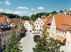
Graefenberg often is called "southern entrance to the Fraenkische Schweiz natural park". And that is right.
The city is located at the edge of this low mountain range. Graefenberg station is located at a height of 390 metres and the city’s marketplace at a height of almost 430 metres surrounded by the old town centre and remains of the ancient city wall. The areas of new houses expand over the slopes and the plateau at a height of 500 metres.
|
|
 |
|
|
|
 |
|
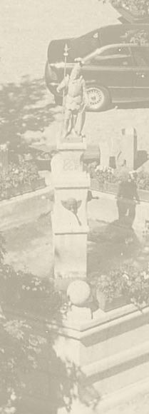
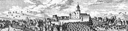
The ancient trade route from Nuernberg to Saxony had to get over that natural obstacle. In order to protect and control this important arterial road in the west of today's old town centre a castle complex was built high above the cleft of Kalkach brook in the High Middle Ages. Nearby the parish church another fortress was built – today headquarter of the municipal authority – which can be considered as nucleus of the ancient patrician settlement in Graefenberg area. In the 14th century this settlement was extended northwards with a rectangular marketplace. In 1371 Graefenberg received municipal law by Emperor Karl IV. Three town gates and large parts of the southern and western city wall remained preserved. In the 19th century the western town gate (1831), several parts of the city wall and almost ten towers were pulled down finally.  |
|
|
|
|